
Fernvale topographic map
Interactive map
Click on the map to display elevation.
About this map
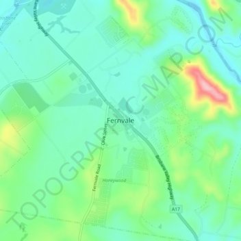
Name: Fernvale topographic map, elevation, terrain.
Location: Fernvale, Somerset Regional, Queensland, Australia (-27.49617 152.61279 -27.41617 152.69279)
Average elevation: 210 ft
Minimum elevation: 56 ft
Maximum elevation: 702 ft