
Tenby topographic map
Interactive map
Click on the map to display elevation.
About this map
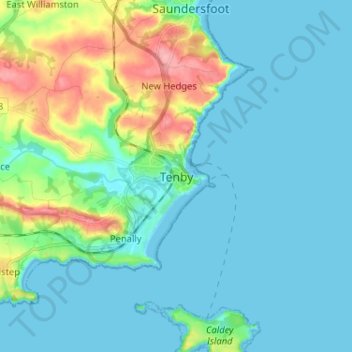
Name: Tenby topographic map, elevation, terrain.
Location: Tenby, Pembrokeshire, Wales, SA70 7JU, United Kingdom (51.63261 -4.74504 51.71261 -4.66504)
Average elevation: 69 ft
Minimum elevation: -3 ft
Maximum elevation: 331 ft