
Beddgelert topographic map
Interactive map
Click on the map to display elevation.
About this map
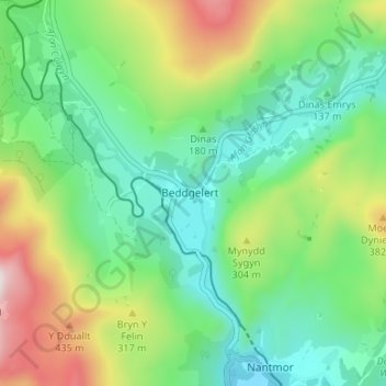
Name: Beddgelert topographic map, elevation, terrain.
Location: Beddgelert, Gwynedd, Wales, LL55 4YA, United Kingdom (52.99155 -4.12223 53.03155 -4.08223)
Average elevation: 653 ft
Minimum elevation: 13 ft
Maximum elevation: 2,021 ft
Other topographic maps
Click on a map to view its topography, its elevation and its terrain.
Llyn Dinas
United Kingdom > Wales > Beddgelert
Llyn Dinas, A498, Beddgelert, Gwynedd, Wales, LL55 4NG, United Kingdom
Average elevation: 600 ft