
Gingin topographic map
Interactive map
Click on the map to display elevation.
About this map
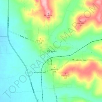
Name: Gingin topographic map, elevation, terrain.
Location: Gingin, Western Australia, Australia (-31.38412 115.86766 -31.30412 115.94766)
Average elevation: 390 ft
Minimum elevation: 226 ft
Maximum elevation: 768 ft