
Teotihuacán topographic map
Interactive map
Click on the map to display elevation.
About this map
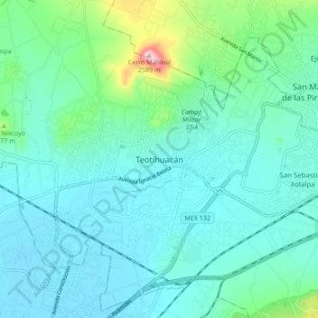
Name: Teotihuacán topographic map, elevation, terrain.
Location: Teotihuacán, 55816, México (19.64753 -98.91574 19.72753 -98.83574)
Average elevation: 7,582 ft
Minimum elevation: 7,395 ft
Maximum elevation: 8,504 ft