
Gillam topographic map
Interactive map
Click on the map to display elevation.
About this map
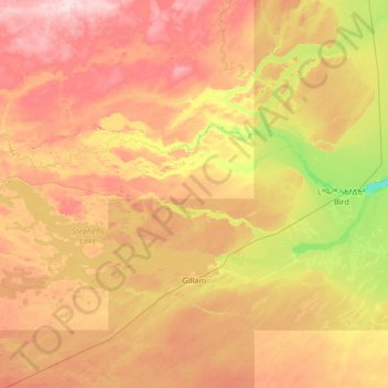
Name: Gillam topographic map, elevation, terrain.
Location: Gillam, Manitoba, R0B 0L0, Canada (56.24560 -95.01299 56.76943 -93.68318)
Average elevation: 479 ft
Minimum elevation: 157 ft
Maximum elevation: 873 ft