
Chapala topographic map
Interactive map
Click on the map to display elevation.
About this map
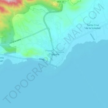
Name: Chapala topographic map, elevation, terrain.
Location: Chapala, Jalisco, 45900, Mexico (20.25548 -103.22986 20.33548 -103.14986)
Average elevation: 5,167 ft
Minimum elevation: 4,974 ft
Maximum elevation: 7,372 ft