
Río Saja topographic map
Interactive map
Click on the map to display elevation.
About this map
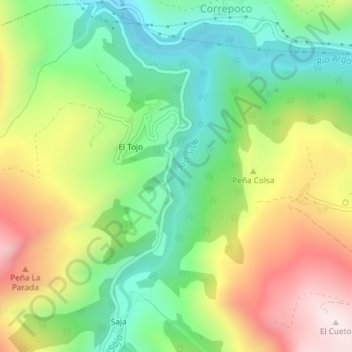
Name: Río Saja topographic map, elevation, terrain.
Location: Río Saja, Los Tojos, Saja-Nansa, Cantabria, 39517, España (43.14609 -4.28672 43.16537 -4.27743)
Average elevation: 1,955 ft
Minimum elevation: 1,129 ft
Maximum elevation: 3,143 ft