
Parc de Bruxelles topographic map
Interactive map
Click on the map to display elevation.
About this map
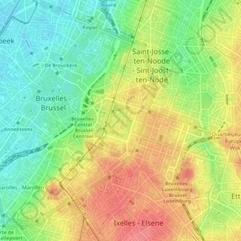
Name: Parc de Bruxelles topographic map, elevation, terrain.
Average elevation: 174 ft
Minimum elevation: 56 ft
Maximum elevation: 302 ft
Other topographic maps
Click on a map to view its topography, its elevation and its terrain.
Bruxelles
Belgique > Bruxelles-Capitale > Ville de Bruxelles
Bruxelles, Ville de Bruxelles, Bruxelles-Capitale, Belgique
Average elevation: 184 ft