
Merxhausen topographic map
Interactive map
Click on the map to display elevation.
About this map
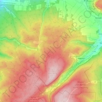
Name: Merxhausen topographic map, elevation, terrain.
Location: Merxhausen, Landkreis Holzminden, Lower Saxony, Germany (51.78617 9.51643 51.84836 9.63107)
Average elevation: 1,257 ft
Minimum elevation: 666 ft
Maximum elevation: 1,742 ft