
Kasseh topographic map
Interactive map
Click on the map to display elevation.
About this map
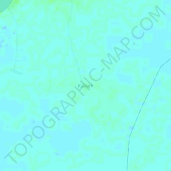
Name: Kasseh topographic map, elevation, terrain.
Location: Kasseh, Bonthe District, Southern Province, Sierra Leone (7.29133 -12.11581 7.33133 -12.07581)
Average elevation: 10 ft
Minimum elevation: 3 ft
Maximum elevation: 26 ft