
Cinco topographic map
Interactive map
Click on the map to display elevation.
About this map
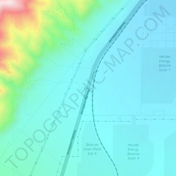
Name: Cinco topographic map, elevation, terrain.
Location: Cinco, Kern County, California, United States (35.24330 -118.05618 35.28330 -118.01618)
Average elevation: 2,339 ft
Minimum elevation: 2,044 ft
Maximum elevation: 3,907 ft
It is located on the southwestern edge of Fremont Valley 6 miles (9.7 km), east of and at the foot of the Sierra Nevada (U.S.) Mountains, south of Red Rock Canyon State Park (California). at an elevation of 2149 feet (655 m). It is southwest of Cantil, California and east of Cross Mountain.