
Zabul topographic map
Interactive map
Click on the map to display elevation.
About this map
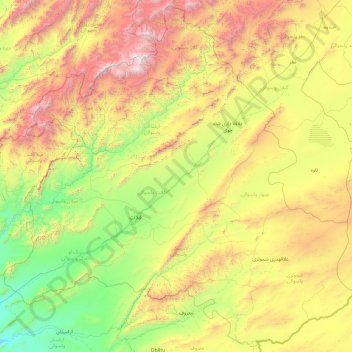
Name: Zabul topographic map, elevation, terrain.
Location: Zabul, Afghanistan (31.49813 66.18549 33.07714 68.11279)
Average elevation: 6,834 ft
Minimum elevation: 3,698 ft
Maximum elevation: 13,648 ft
Other topographic maps
Click on a map to view its topography, its elevation and its terrain.