
Otho topographic map
Interactive map
Click on the map to display elevation.
About this map
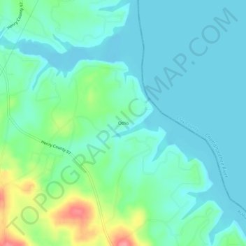
Name: Otho topographic map, elevation, terrain.
Location: Otho, Henry County, Alabama, USA (31.66961 -85.14965 31.70961 -85.10965)
Average elevation: 240 ft
Minimum elevation: 174 ft
Maximum elevation: 469 ft