Alamo Square Park topographic map
Interactive map
Click on the map to display elevation.
About this map
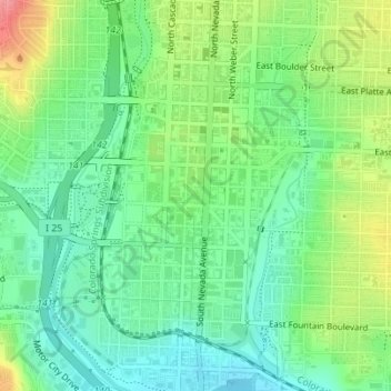
Name: Alamo Square Park topographic map, elevation, terrain.
Average elevation: 6,007 ft
Minimum elevation: 5,909 ft
Maximum elevation: 6,181 ft

Click on the map to display elevation.
Name: Alamo Square Park topographic map, elevation, terrain.
Average elevation: 6,007 ft
Minimum elevation: 5,909 ft
Maximum elevation: 6,181 ft