
Haninge kommun topographic map
Interactive map
Click on the map to display elevation.
About this map
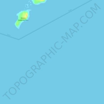
Name: Haninge kommun topographic map, elevation, terrain.
Location: Haninge kommun, Stockholm County, Region Svealand, Sweden (59.04967 18.26662 59.04977 18.26672)
Average elevation: 0 ft
Minimum elevation: 0 ft
Maximum elevation: 82 ft