
North Laurel topographic map
Interactive map
Click on the map to display elevation.
About this map
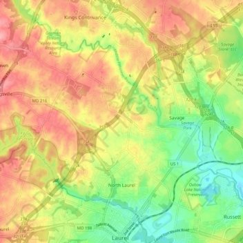
Name: North Laurel topographic map, elevation, terrain.
Location: North Laurel, Howard County, Maryland, 20723, USA (39.10306 -76.91892 39.16855 -76.81816)
Average elevation: 282 ft
Minimum elevation: 105 ft
Maximum elevation: 446 ft