
Mount Abraham topographic map
Interactive map
Click on the map to display elevation.
About this map
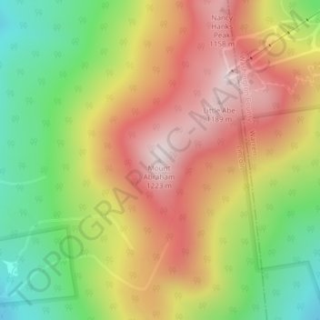
Name: Mount Abraham topographic map, elevation, terrain.
Location: Mount Abraham, Lincoln, Addison County, Vermont, USA (44.12036 -72.93610 44.12046 -72.93600)
Average elevation: 2,910 ft
Minimum elevation: 1,814 ft
Maximum elevation: 3,960 ft