
Olalla topographic map
Interactive map
Click on the map to display elevation.
About this map
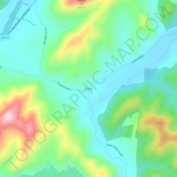
Name: Olalla topographic map, elevation, terrain.
Location: Olalla, Douglas County, Oregon, 97481, United States (43.04706 -123.57452 43.08706 -123.53452)
Average elevation: 1,024 ft
Minimum elevation: 676 ft
Maximum elevation: 1,890 ft