
Texas Point topographic map
Interactive map
Click on the map to display elevation.
About this map
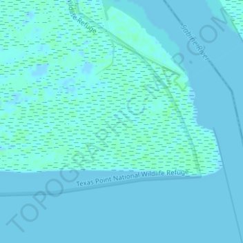
Name: Texas Point topographic map, elevation, terrain.
Location: Texas Point, Port Arthur, Jefferson County, Texas, USA (29.67439 -93.86072 29.69439 -93.84072)
Average elevation: 3 ft
Minimum elevation: -7 ft
Maximum elevation: 20 ft