
Glide topographic map
Interactive map
Click on the map to display elevation.
About this map
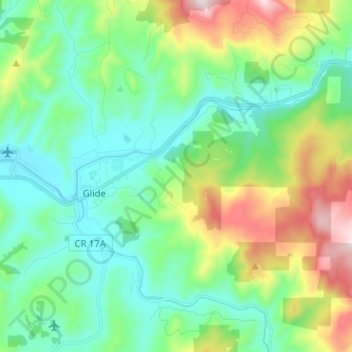
Name: Glide topographic map, elevation, terrain.
Location: Glide, Douglas County, Oregon, United States (43.27104 -123.13001 43.33576 -123.00279)
Average elevation: 1,283 ft
Minimum elevation: 643 ft
Maximum elevation: 2,946 ft