
Jeffries topographic map
Interactive map
Click on the map to display elevation.
About this map
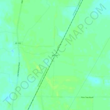
Name: Jeffries topographic map, elevation, terrain.
Location: Jeffries, Monroe County, Arkansas, 72029, USA (34.71037 -91.30151 34.75037 -91.26151)
Average elevation: 180 ft
Minimum elevation: 161 ft
Maximum elevation: 200 ft