
Legionowo topographic map
Interactive map
Click on the map to display elevation.
About this map
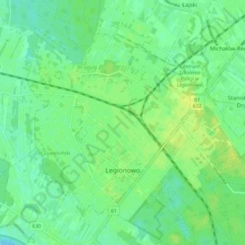
Name: Legionowo topographic map, elevation, terrain.
Location: Legionowo, powiat legionowski, Masovian Voivodeship, Poland (52.38483 20.89861 52.42496 20.98001)
Average elevation: 266 ft
Minimum elevation: 240 ft
Maximum elevation: 295 ft