
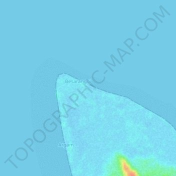
Magat topographic map
Interactive map
Click on the map to display elevation.
About this map
Name: Magat topographic map, elevation, terrain.
Location: Magat, Maluku, Indonesia (-4.00242 131.19247 -3.96242 131.23247)
Average elevation: 3 ft
Minimum elevation: -7 ft
Maximum elevation: 141 ft