
Blackbird topographic map
Interactive map
Click on the map to display elevation.
About this map
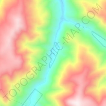
Name: Blackbird topographic map, elevation, terrain.
Location: Blackbird, Lemhi County, Idaho, 83229, USA (45.09318 -114.24083 45.13318 -114.20083)
Average elevation: 6,122 ft
Minimum elevation: 4,846 ft
Maximum elevation: 7,316 ft