
La Gaza topographic map
Interactive map
Click on the map to display elevation.
About this map
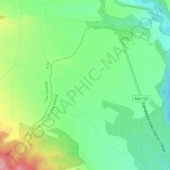
Name: La Gaza topographic map, elevation, terrain.
Location: La Gaza, Lerín, Navarre, 31260, Spain (42.50043 -2.01884 42.52043 -1.99884)
Average elevation: 1,299 ft
Minimum elevation: 1,119 ft
Maximum elevation: 1,640 ft