
Pilot Grove topographic map
Interactive map
Click on the map to display elevation.
About this map
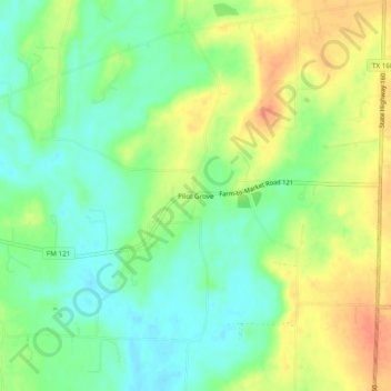
Name: Pilot Grove topographic map, elevation, terrain.
Location: Pilot Grove, Grayson County, Texas, United States (33.41789 -96.44471 33.45789 -96.40471)
Average elevation: 692 ft
Minimum elevation: 623 ft
Maximum elevation: 774 ft