
Bombay Hook National Wildlife Refuge topographic map
Interactive map
Click on the map to display elevation.
About this map
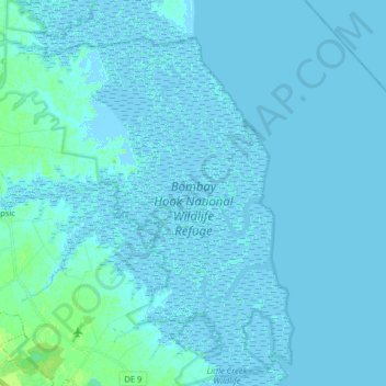
Name: Bombay Hook National Wildlife Refuge topographic map, elevation, terrain.
Average elevation: 3 ft
Minimum elevation: -13 ft
Maximum elevation: 36 ft