
Lahat topographic map
Interactive map
Click on the map to display elevation.
About this map
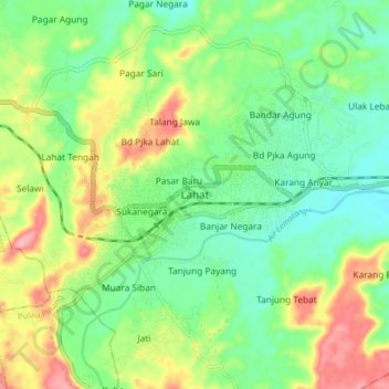
Name: Lahat topographic map, elevation, terrain.
Location: Lahat, South Sumatra, Indonesia (-3.82326 103.50518 -3.74326 103.58518)
Average elevation: 397 ft
Minimum elevation: 253 ft
Maximum elevation: 643 ft