
Clarkston topographic map
Interactive map
Click on the map to display elevation.
About this map
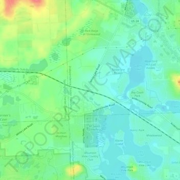
Name: Clarkston topographic map, elevation, terrain.
Location: Clarkston, Oakland County, Michigan, 48347, United States (42.68864 -83.45966 42.72864 -83.41966)
Average elevation: 1,010 ft
Minimum elevation: 948 ft
Maximum elevation: 1,158 ft