
Kannavia topographic map
Interactive map
Click on the map to display elevation.
About this map
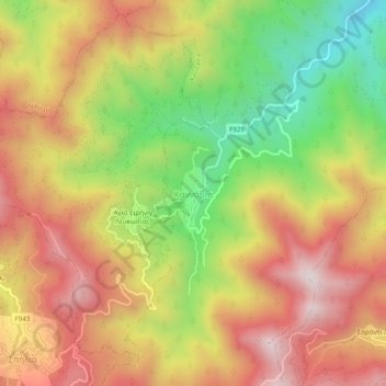
Name: Kannavia topographic map, elevation, terrain.
Location: Kannavia, Nicosia District, 4876, Cyprus (34.96356 32.95693 35.00356 32.99693)
Average elevation: 3,182 ft
Minimum elevation: 1,870 ft
Maximum elevation: 4,311 ft