
Seymour topographic map
Interactive map
Click on the map to display elevation.
About this map
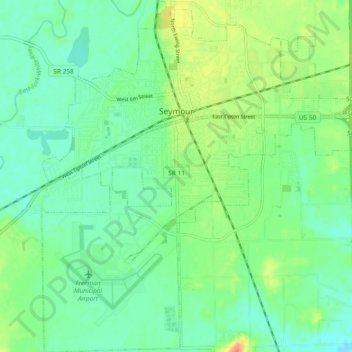
Name: Seymour topographic map, elevation, terrain.
Location: Seymour, Jackson County, Indiana, United States (38.90911 -85.92623 38.98212 -85.83462)
Average elevation: 581 ft
Minimum elevation: 535 ft
Maximum elevation: 676 ft