
Oil Trough topographic map
Interactive map
Click on the map to display elevation.
About this map
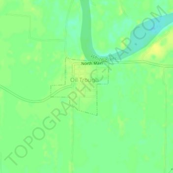
Name: Oil Trough topographic map, elevation, terrain.
Location: Oil Trough, Independence County, Arkansas, United States (35.62421 -91.46732 35.63327 -91.45615)
Average elevation: 233 ft
Minimum elevation: 200 ft
Maximum elevation: 256 ft