
Sabine Pass topographic map
Interactive map
Click on the map to display elevation.
About this map
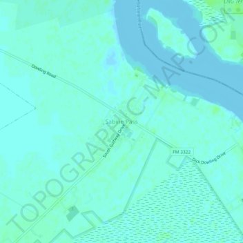
Name: Sabine Pass topographic map, elevation, terrain.
Average elevation: 10 ft
Minimum elevation: -7 ft
Maximum elevation: 26 ft
Other topographic maps
Click on a map to view its topography, its elevation and its terrain.
Griffing Park
United States > Texas > Jefferson County > Port Arthur > Griffing Park
Griffing Park, Port Arthur, Jefferson County, Texas, 77642, United States
Average elevation: 13 ft