
Sierra Imataca topographic map
Interactive map
Click on the map to display elevation.
About this map
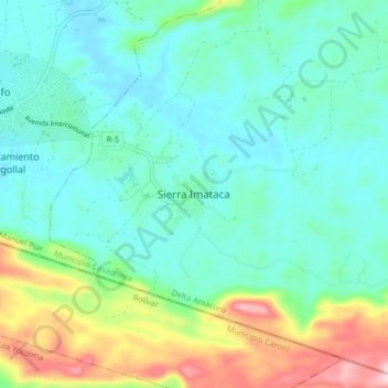
Name: Sierra Imataca topographic map, elevation, terrain.
Location: Sierra Imataca, Delta Amacuro, Venezuela (8.35412 -62.49270 8.43412 -62.41270)
Average elevation: 299 ft
Minimum elevation: 69 ft
Maximum elevation: 1,010 ft