
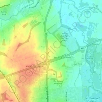
Wanlip topographic map
Interactive map
Click on the map to display elevation.
About this map
Name: Wanlip topographic map, elevation, terrain.
Average elevation: 207 ft
Minimum elevation: 141 ft
Maximum elevation: 295 ft
Other topographic maps
Click on a map to view its topography, its elevation and its terrain.
Charnwood
United Kingdom > England > Charnwood
Charnwood, Leicestershire, East Midlands, England, United Kingdom
Average elevation: 302 ft