
Rouge River topographic map
Interactive map
Click on the map to display elevation.
About this map
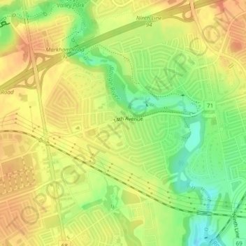
Name: Rouge River topographic map, elevation, terrain.
Location: Rouge River, Markham, York Region, Ontario, L3S 4B7, Canada (43.84434 -79.26248 43.87088 -79.22970)
Average elevation: 568 ft
Minimum elevation: 479 ft
Maximum elevation: 627 ft