
San Andrés y Providencia topographic map
Interactive map
Click on the map to display elevation.
About this map
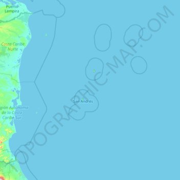
Name: San Andrés y Providencia topographic map, elevation, terrain.
Location: San Andrés y Providencia, Colombia (10.20869 -84.09084 15.40869 -78.89084)
Average elevation: 16 ft
Minimum elevation: -7 ft
Maximum elevation: 5,607 ft