
Cooke City-Silver Gate topographic map
Interactive map
Click on the map to display elevation.
About this map
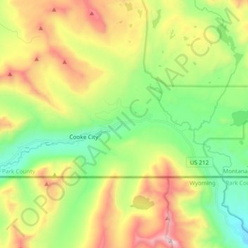
Name: Cooke City-Silver Gate topographic map, elevation, terrain.
Average elevation: 8,812 ft
Minimum elevation: 7,106 ft
Maximum elevation: 11,558 ft
Cooke City-Silver Gate is a census-designated place (CDP) in Park County, Montana, United States. The population was 140 at the 2000 census. It sits toward the northeast of Yellowstone National Park on a road remaining open during the winter connecting through Tower Junction to Mammoth and north to Livingston, Montana. During the summer the road opens eastward to connect to Red Lodge, Montana via the Beartooth Highway on a scenic route climbing to 10,947 feet in elevation through the Beartooth Mountains and across the Beartooth Plateau. Its chief industry is tourism, which during the winter includes skiing and snowmobiling.