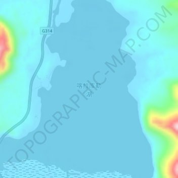
Karakul Lake topographic map
Interactive map
Click on the map to display elevation.
About this map
Name: Karakul Lake topographic map, elevation, terrain.
Average elevation: 12,011 ft
Minimum elevation: 11,949 ft
Maximum elevation: 12,769 ft

Click on the map to display elevation.
Name: Karakul Lake topographic map, elevation, terrain.
Average elevation: 12,011 ft
Minimum elevation: 11,949 ft
Maximum elevation: 12,769 ft