
Wilderness topographic map
Interactive map
Click on the map to display elevation.
About this map
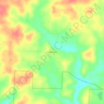
Name: Wilderness topographic map, elevation, terrain.
Location: Wilderness, Oregon County, Missouri, USA (36.76894 -91.21208 36.80894 -91.17208)
Average elevation: 837 ft
Minimum elevation: 728 ft
Maximum elevation: 935 ft