
Estes topographic map
Interactive map
Click on the map to display elevation.
About this map
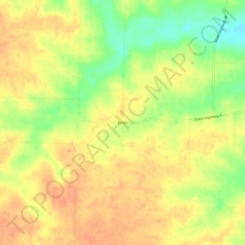
Name: Estes topographic map, elevation, terrain.
Location: Estes, Pike County, Missouri, United States (39.21671 -91.39626 39.25671 -91.35626)
Average elevation: 728 ft
Minimum elevation: 643 ft
Maximum elevation: 774 ft