
McAfee Knob topographic map
Interactive map
Click on the map to display elevation.
About this map
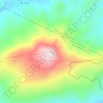
Name: McAfee Knob topographic map, elevation, terrain.
Location: McAfee Knob, Roanoke, Roanoke County, Virginia, USA (37.39286 -80.03676 37.39296 -80.03666)
Average elevation: 2,162 ft
Minimum elevation: 1,539 ft
Maximum elevation: 3,133 ft