
Cañada del Oro topographic map
Interactive map
Click on the map to display elevation.
About this map
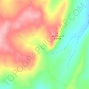
Name: Cañada del Oro topographic map, elevation, terrain.
Location: Cañada del Oro, Rocha, Uruguay (-34.28227 -54.36758 -34.27642 -54.34435)
Average elevation: 679 ft
Minimum elevation: 430 ft
Maximum elevation: 919 ft
Other topographic maps
Click on a map to view its topography, its elevation and its terrain.
La Aguada - Costa Azul
Uruguay > Rocha > La Aguada - Costa Azul
La Aguada - Costa Azul, Rocha, 27002, Uruguay
Average elevation: 43 ft