
Aldana topographic map
Interactive map
Click on the map to display elevation.
About this map
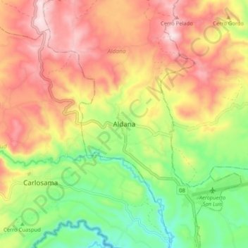
Name: Aldana topographic map, elevation, terrain.
Location: Aldana, Nariño, Colombia (0.84225 -77.74032 0.92225 -77.66032)
Average elevation: 10,085 ft
Minimum elevation: 9,268 ft
Maximum elevation: 10,906 ft