
Laguna Pumarauca topographic map
Interactive map
Click on the map to display elevation.
About this map
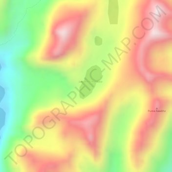
Name: Laguna Pumarauca topographic map, elevation, terrain.
Location: Laguna Pumarauca, LM-828, Tanta, Yauyos, Lima, Perú (-12.04146 -75.95225 -12.03676 -75.94848)
Average elevation: 15,085 ft
Minimum elevation: 14,032 ft
Maximum elevation: 15,912 ft
Other topographic maps
Click on a map to view its topography, its elevation and its terrain.