
Birch Point topographic map
Interactive map
Click on the map to display elevation.
About this map
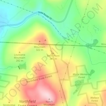
Name: Birch Point topographic map, elevation, terrain.
Location: Birch Point, Warwick, Franklin, Massachusetts, USA (42.72309 -72.41069 42.72319 -72.41059)
Average elevation: 778 ft
Minimum elevation: 371 ft
Maximum elevation: 1,289 ft