
Monticelli topographic map
Interactive map
Click on the map to display elevation.
About this map
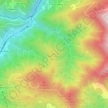
Name: Monticelli topographic map, elevation, terrain.
Location: Monticelli, Pistoia, PT, Tuscany, Italy (44.05357 10.92510 44.05367 10.92520)
Average elevation: 2,894 ft
Minimum elevation: 1,913 ft
Maximum elevation: 4,039 ft