
Corella topographic map
Interactive map
Click on the map to display elevation.
About this map
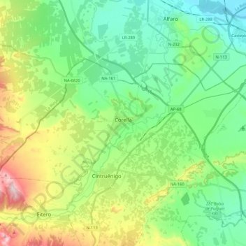
Name: Corella topographic map, elevation, terrain.
Location: Corella, Navarre, 31591, Espagne (42.07227 -1.89733 42.15357 -1.68896)
Average elevation: 1,224 ft
Minimum elevation: 853 ft
Maximum elevation: 2,123 ft
Other topographic maps
Click on a map to view its topography, its elevation and its terrain.