
radio educacion topographic map
Interactive map
Click on the map to display elevation.
About this map
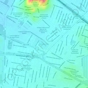
Name: radio educacion topographic map, elevation, terrain.
Average elevation: 7,346 ft
Minimum elevation: 7,300 ft
Maximum elevation: 7,618 ft
Other topographic maps
Click on a map to view its topography, its elevation and its terrain.
Pueblo San Sebastián Tecoloxtitlan
México > Ciudad de México > Pueblo San Sebastián Tecoloxtitlan
Pueblo San Sebastián Tecoloxtitlan, Iztapalapa, Ciudad de México, 09520, México
Average elevation: 7,434 ft